Storms – 16th January 2014

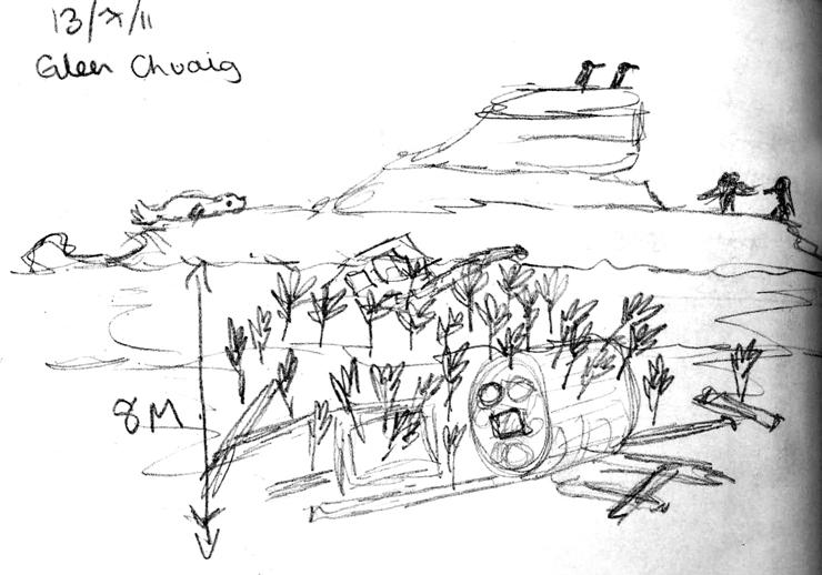
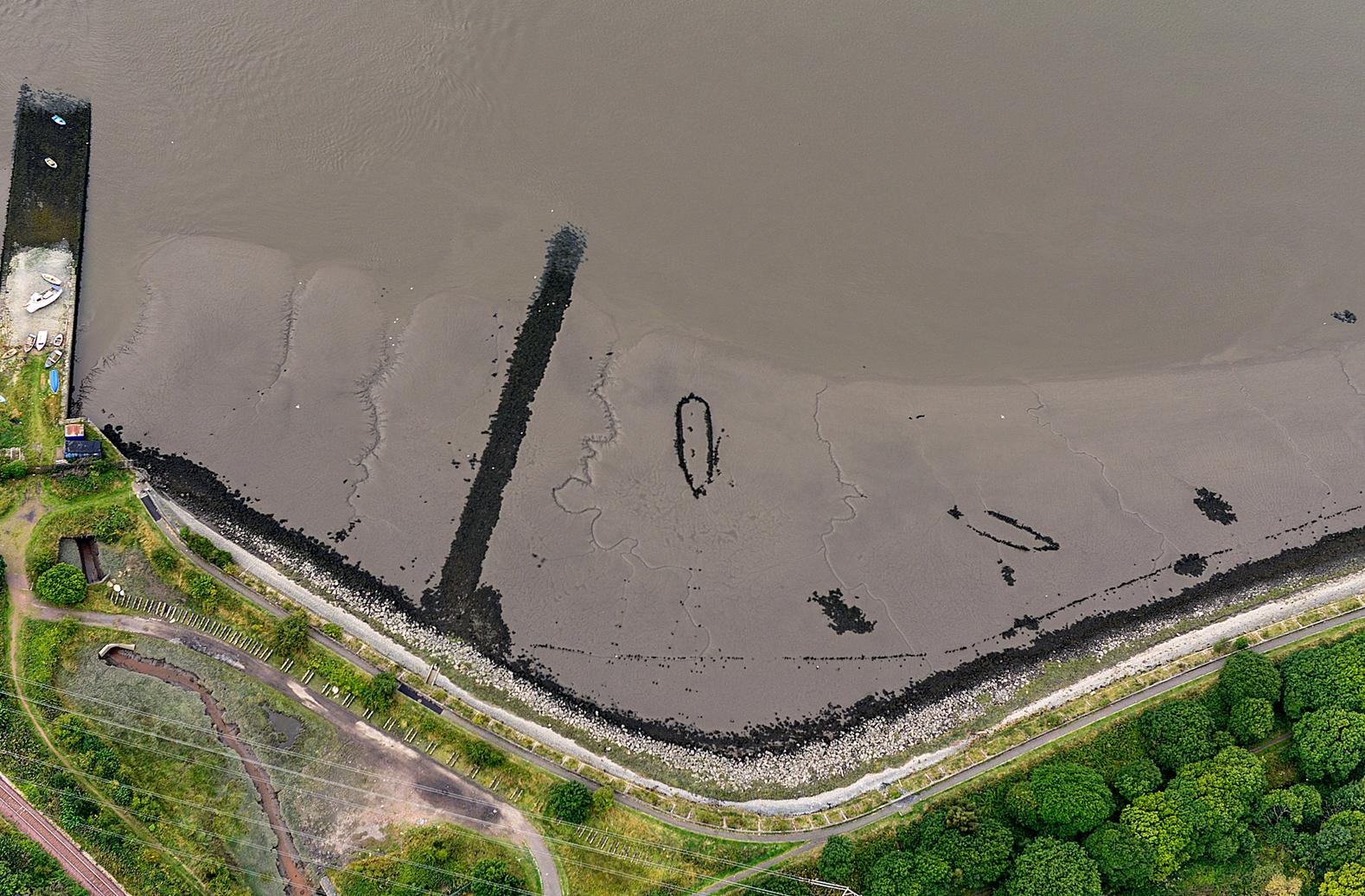
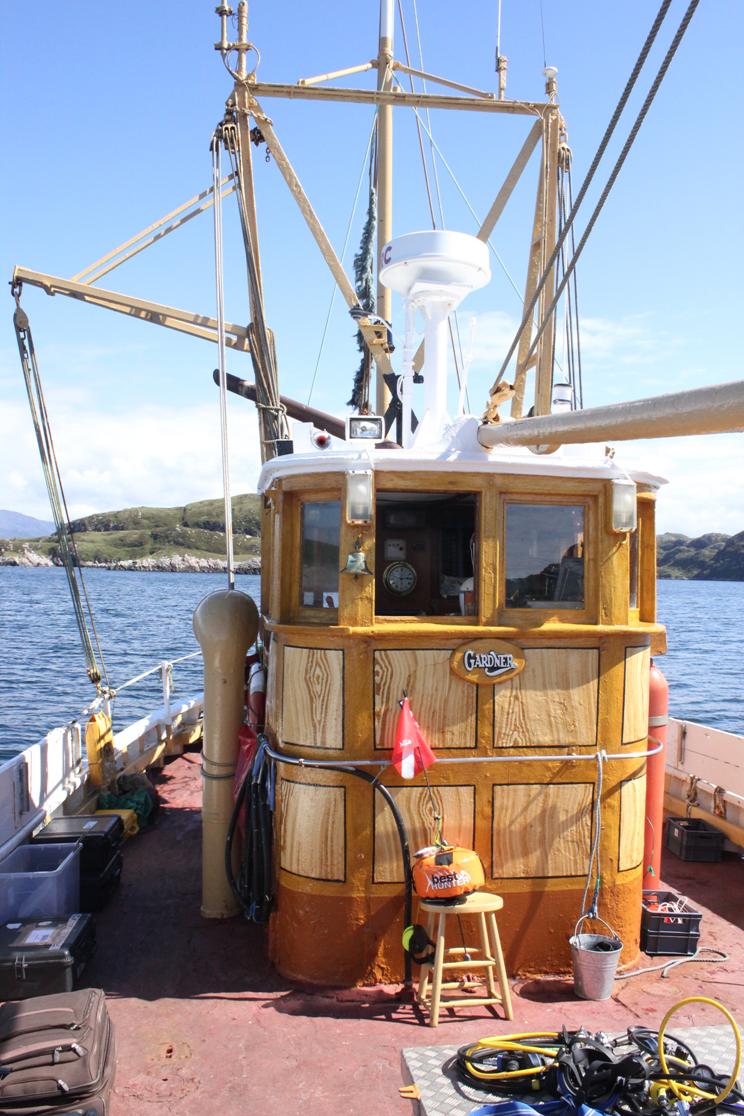
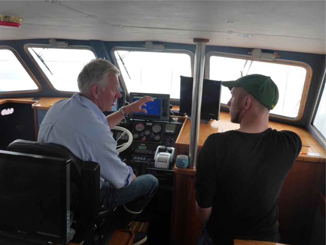
The SAMPHIRE team has been investigating several intertidal wreck sites over the course of 2013. The recent storms have removed much of the beach sand around Scotland’s coast and this has led to numerous archaeological discoveries throughout Great Britain and Ireland.

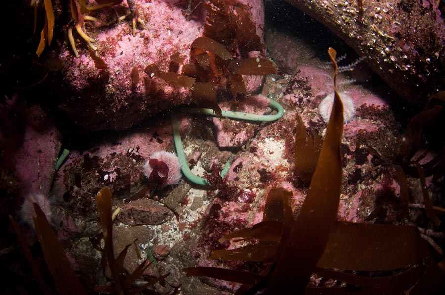
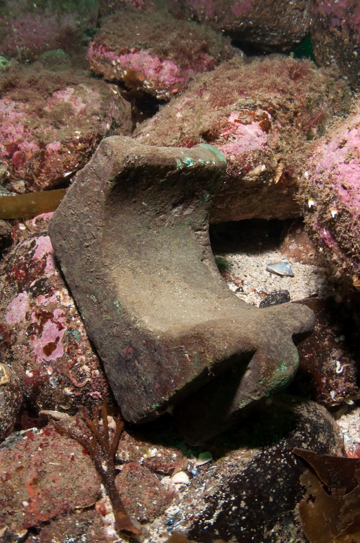
  • A shipwreck was newly exposed and excavated in Newquay
  • A wreck dating to 1903 was uncovered in Ireland
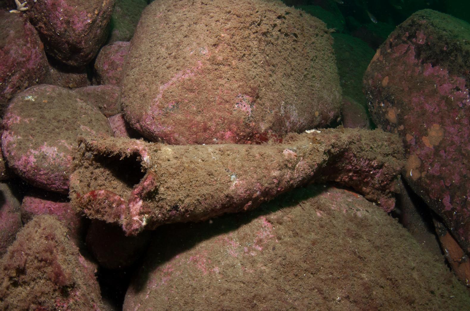
  • In Wales, a prehistoric forest dating to 10,000 years ago was exposed, along with two cannon from the Napoleanic Era

If you have come across any newly exposed wrecks or similar material this winter we would love to hear it and we may be able to help you investigate with professional archaeologists.

Storms like these also have the potential to erode and damage archaeological sites on land.  Prehistoric sites throughout Scotland and Ireland have been impacted by the recent storms including an Iron Age burial in Shetland.

And a coastal midden in Ireland.

Scottish Coastal Archaeology and the Problem of Erosion (SCAPE) is particularly concerned with coastal archaeological sites damaged by storms and erosion. Further information is available at their website.

SAMPHIRE Report 2013

SAMPHIRE Report 2013

Christmas has come early this year for the SAMPHIRE team and there was great excitement in the Scottish office of WA Coastal & Marine as we unwrapped packages containing 100 bound copies of the SAMPHIRE 2013 Annual Report. These 85 page reports give a summary of all the exciting discoveries of 2013 and a background on what we are trying to achieve with this project, supported by The Crown Estate. We will be posting these out in the New Year to those maritime community members on the west coast of Scotland who have made significant contributions to the project over the last year. We will also be sending copies to RCAHMS and to other community archives on the west coast. To help spread the word as far as possible we will also be posting the report on this website in a digital format shortly.

Intertidal Survey at Hunterston, North Ayrshire 19-20th September 2013

A panoramic view of the possible harbour site at Hunterston Sands at very low tide (WA C&M 2013).

Photos from our recently completed survey of the complex intertidal remains at Hunterston Sands, undertaken with RCAHMS. The remains at the site, which include a possible harbour, lie close to the Mean Low Water Springs mark, meaning that we had to time the survey exactly in order to see all of the features exposed. This also meant a very early start but at least we got to see the beautiful sunrise over the Firth of Clyde!

Dr. Andrew Bicket takes field notes in the dawn light during low tide at Hunterston Sands.

We were fortunate to be joined at this anti-social hour by local historian and guide Isabel Garrett of the Friends of Portencross Castle and local amateur archaeologists Michael and Katherine Scott; fonts of knowledge about this and other local sites.

The team in front of some of the intertidal structures at Hunterston Sands.

Investigating unrecorded wrecks in Chuaig Bay, Wester Ross

Unidentified wreck in Chuaig Bay

The photo shows one of several previously unknown wreck locations near Chuaig Bay recorded through community engagement undertaken for the SAMPHIRE project. This location was first mentioned by locals in Shieldaig as the site of the SS Sheila, an early MacBrayne ferry. After we had finished our diving in the area we were given more detailed information by two divers from the Aberdeen Sub-Aqua Club. John and Jo Beaton discovered the wreck in 2011 and kindly provided us with accurate coordinates, a beautiful sketch, several photos and a detailed description.

Sketch map of site looking from the east (John & Jo Beaton 2011)

Review of all available information now suggests that the Sheila is probably at another location 500 metres to the south of this wreck, on the edge of Chuaig Bay. Another possibility is that is that this could be part of the wreck of the Hersilia whose loss is recorded at the island in 1916 and which has never been located. The Hersilia was an armed iron naval yacht built in 1895 and registered in Leith. It was 52 metres long and sank at Chuaig Island in 1916.

Kincardine Bridge Ship Graveyard

We conducted an aerial survey this week and will be poring over the photos of archaeological sites on the west coast for the next few days. We flew from Edinburgh and saw some incredible places on the way including the ‘Kincardine Bridge Ship Graveyard’, a collection of up to 13 vessels in the intertidal flats between the bridges. This photo, taken at low tide, shows two of the ships clearly.

Hulks in the intertidal zone near the Kincardine Bridge, Firth of Forth

For more information see:

https://canmore.rcahms.gov.uk/en/site/147369/

and

https://canmore.rcahms.gov.uk/en/site/147356/

Newly discovered Scottish wreck site

Another newly discovered shipwreck has been reported as part of the SAMPHIRE community project! Wreck material has been discovered at Eilean nan Roin, near Kinlochbervie, by two of our key community informants, recreational divers, who have reported a number of new discoveries to us already this year. The divers contacted us after unexpectedly discovering a cache of copper bolts in a gully while diving to free their anchor on the 13th August. They have provided us with a set of photographs of the artefacts in situ on the seabed and exact coordinates.  Copper bolts were used in the construction of 19th century wooden-hulled ships. They were generally used below the waterline.

Some of the copper bolts found by the divers at Eilean nan Roin

We don’t have a definite identification for the wreck yet. There are two unlocated recorded losses in the RCAHMS database in this area, the Mersy, a wooden schooner of 188 tons built in 1839 and lost in 1878 and the Gem, also a wooden schooner, of 60 tons built in 1852 and lost in 1874. The diameter of the bolts is quite large and suggests that they may be from a larger vessel than either of these.

SAMPHIRE takes to the air!

Land, sea… And now air! SAMPHIRE takes to the skies over western Scotland! Dr. Jonathan Benjamin is today out and about with the RCAHMS aerial survey team to conduct a photographic survey of some of the sites we’ve had reported this year. This image shows the high-grade  cameras we will be using. Stay posted for more results!

Aerial Photography is an invaluable technique for coastal surveys

Check out our other aerial surveys in Scotland:

Loch Laxford

The SAMPHIRE team had reports of two previously unrecorded wrecks in Loch Laxford. One of these is reported to be a slate wreck. Local divers have reported seeing the outline of a ship with its timbers projecting from the sand between two of the islands in the loch. The second wreck lies at the north side of the loch and we were able to find the sandy gully in which it lies. There are a variety of artefacts in this gully, including lead scuppers, a large anchor, bottles and machinery. As well as the images and video in this post, you can see our blog from the day we surveyed the location.

There have been few wrecks recorded as lost in Loch Laxford and these include the Phoenix  the Helena  and the Charlotte Mackenzie.

Boats

We have found that the best way to engage with the local maritime community and to gather information on local heritage sites is simply to spend as much time talking to people as possible. Working with local skippers allows us to do this and has been very rewarding in terms of local knowledge. We used two boats on the SAMPHIRE dive surveys this year, the MV Nimrod, based at Kinlochbervie  and the MV Seaflower, based at Sheildaig.

The MV Nimrod is a historic converted trawler built in 1957. The Nimrod is skippered by Jimmy MacIntosh of Cape Wrath Charters. Jimmy is a well-known local who worked in fishing and cargo for many years and even had a stint as the harbourmaster at Kinlochbervie before moving to dive and angling charter work. Jimmy is no stranger to archaeology and worked with Time Team and our own Phil Harding when they came to Kinlochbervie in 2002 to survey the Spanish galleon near the village. We also met Jimmy during our community outreach fieldwork in May. Jimmy’s long experience of Kinlochbervie means that he knows every corner of the sea in the area and he has passed us information on a number of previously unrecorded wrecks in the area and we were delighted to be able to book him and the Nimrod for our dive surveys.

The Seaflower is a much more modern vessel. It is a 40ft high performance catamaran, launched in 2010 and operated by father and daughter team Kenny and Gemma Livingstone of Torridon Sea Tours. The Livingstone’s have deep roots in the area and Kenny’s father fished from Ardheslaig and recovered the cannon now on the main street. We used the Seaflower for our dive survey at Murchadh Breac. One of the most exciting features of the boat is its’ built in ROV, allowing us to see the seafloor down to 40m depth!

Kenny Livingstone explaining some of the local wreck history to Andrew Roberts, diver on the SAMPHIRE team.

Project SAMPHIRE – Outreach and Investigation

Project SAMPHIRE is a marine archaeology project focused on western Scotland’s coasts and islands. SAMPHIRE enables local communities to engage with professional underwater archaeologists based in Scotland and aims to support the identification, investigation and appreciation of Scotland’s marine heritage. By working alongside local communities we hope to reinforce a shared sense of stewardship of those underwater archaeological sites.

This video shows examples of fieldwork conducted in 2013, including both community engagement and site investigation through dive surveys.