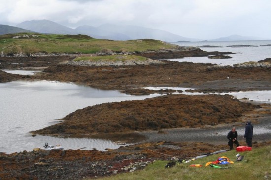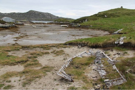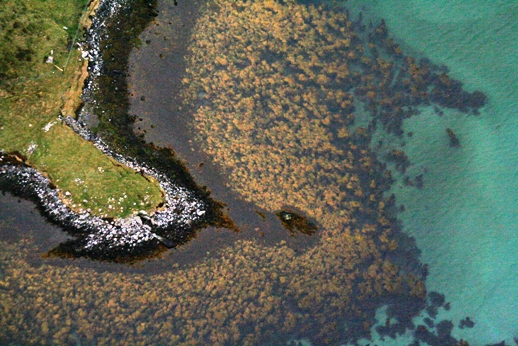
Hartavagh, South Uist: one of our 2012 field locations. Yairs, causeways & a remote historical community (made using AutoStitch: www.autostitch.net).
After two years the pilot project is now complete. We’re putting the finishing touches to the yearly reports which will be online soon on the Downloads page.
I’d like on behalf of the entire project team to thank all those that reported sites, material and helped us in the field. A wide range of archaeological and historical material has been compiled into the reports, so I hope you find something of interest in our project themes:
Marine Resource Exploitation

Diving at Hartavagh, South Uist
Maritime History & Transport

Small wooden vessel on Grimsay, North Uist foreshore
Submerged Prehistory

Geirisclett Neolithic chambered cairn in the intertidal zone, North Uist
