The OHCCMAPP (pronounced ‘oak-map’) is a community-oriented project: a partnership between WA Coastal & Marine, the Royal Commission on the Ancient and Historical Monuments of Scotland (RCAHMS), Historic Scotland, CNE-Siar and the communities of the Outer Hebrides.
The Pilot Project is now complete
The full results can be found on the Downloads page
I’d like on behalf of the entire project team to thank all those that reported sites, material and helped us in the field. A wide range of archaeological and historical material has been compiled into the reports, so I hope you find something of interest.
The Outer Hebrides have been occupied for thousands of years and they contain a rich prehistoric and historic legacy. This project aims to enhance the archaeological records of the Outer Hebrides, with special focus on intertidal and marine zones. The project also looks toward local people to share knowledge, develop research, inform management plans, and enjoy the rich coastal and marine heritage of the Outer Hebrides.
A view across the Minch from South Uist with Skye clearly visible in the background.
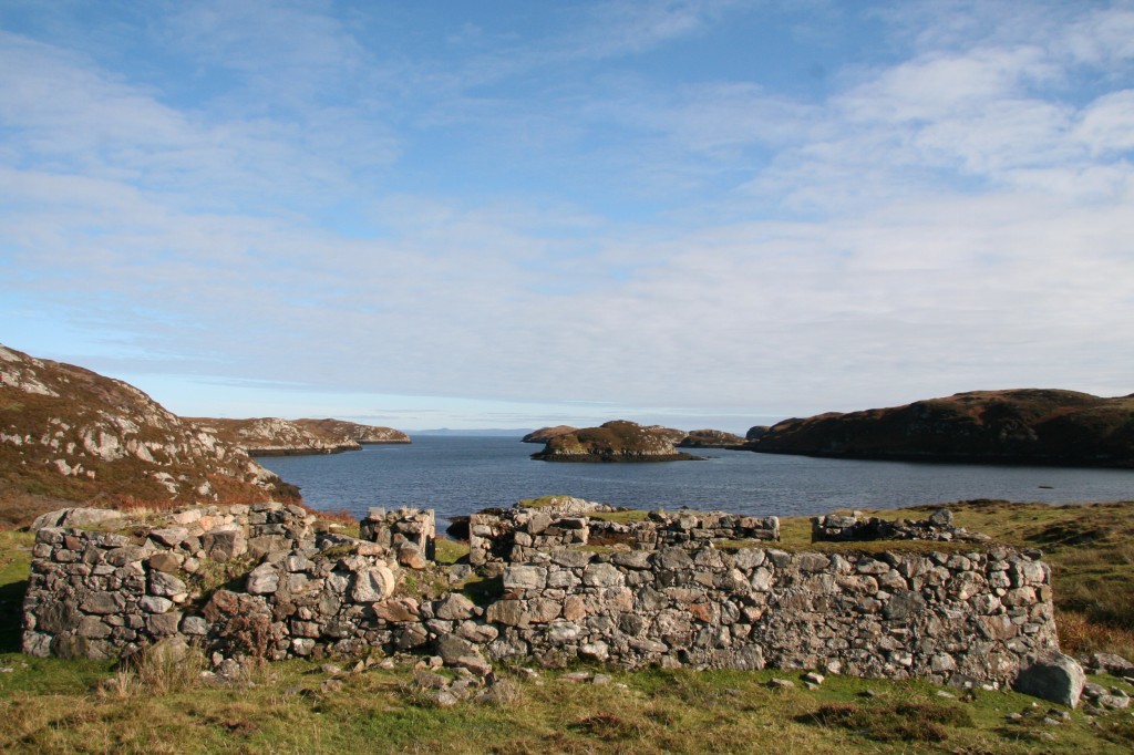
Sea lochs along the east coast of the island archipelago are one area where the project will begin working. Coastal settlement from the more recent past to prehistory can be found along the east coast, from Bruernish on Barra and north to Lochboisdale, Lochmaddy, and Stornoway. Understanding the long history of crofting and working with the coastal landscape in more recent centuries is an important element of the project; as are the prehistoric landscapes that are now underwater (and possibly very well preserved).
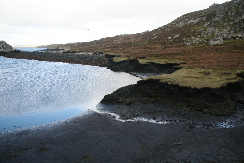
Sheltered intertidal bays and lagoons contain evidence of well preserved organic material, in some cases several 1000s of years.
By working with local people to understand the recent past the project will begin to piece together the possibilities of prehistoric landscapes, which may be found underwater. The rich maritime history of the Outer Hebrides also spans thousands of years. Evidence of fish-traps, boat nausts, canalised burns, tidal duns, and finds from the inter-tidal zone are all part of the puzzle that the project wants to hear about, in order to piece together stories of the past.

An intertidal fishtrap on South Harris. Marine resources exploitation has played an important role in coastal living.
The communities of the Outer Hebrides have a long tradition of storytelling, songs and histories relating to living on the coasts and working the seas. These sources are invaluable for understanding the history of the Outer Hebrides, and for enhancing archaeological and historical records. Through OHCCMAPP we will work closely with coastal communities to enrich our understanding of the past.
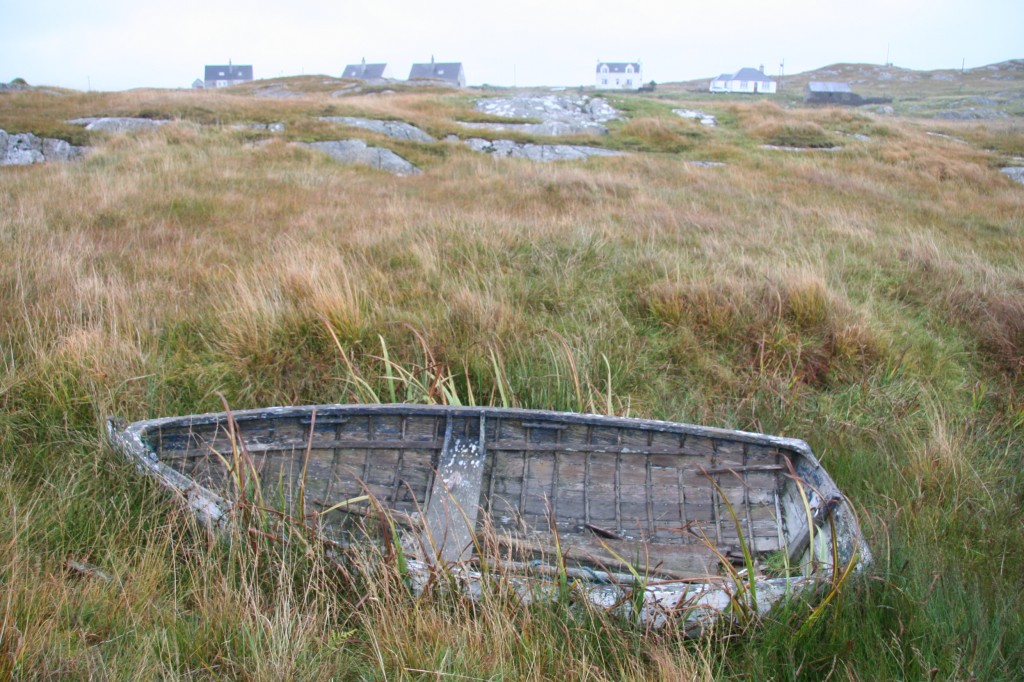
Small wooden boats are common throughout these maritime landscapes.