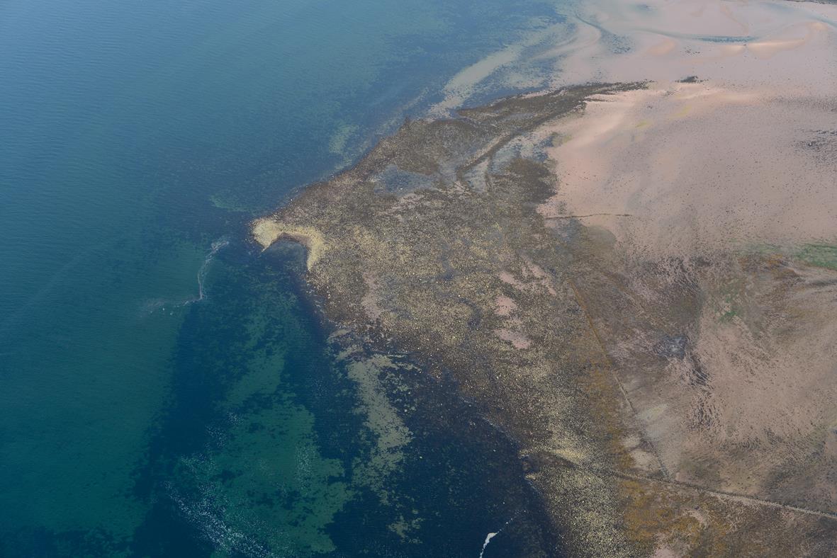
The survey report from 2014 is now available!
It combines the results of the GPS survey, the Roman artefact assessment, early medieval timber and dendrochronology assessments plus a range of thematic landscape illustrations focusing on key periods and topics investigated during the project. These include:
- 2nd century AD Roman seascape of the Firth of Clyde (Clota Aestuarium),
- medieval and post-medieval coastal structures on the Hunterston Estate,
- the relict designed landscape on the Polteath Burn,
- the 19th century seascape of the Fairlie Roads,
- vernacular harbours at Brigurd Point, Portencross and Seamill.
- and much more….

